Video note: Despite this article’s time stamp, the above video is the latest forecast from The Weather Authority.
FRANKFORT, Ky. (WDKY) — Winter Storm Blair has brought what The Associated Press deemed the “heaviest snowfall in a decade.”
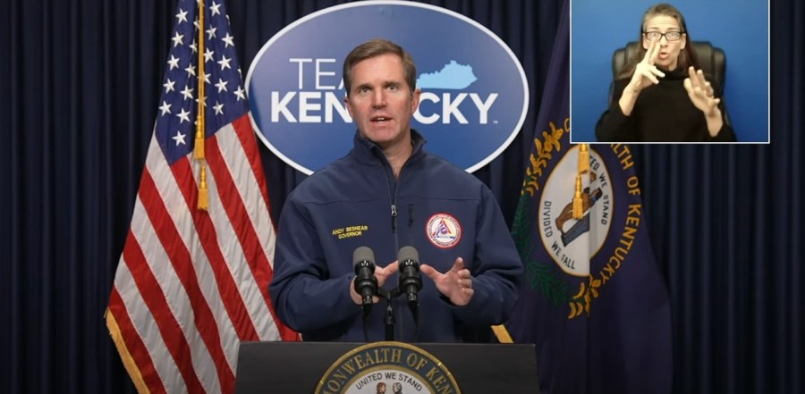
On Sunday evening, Gov. Andy Beshear issued an update regarding the storm’s impact on the Commonwealth.
“This next period of time where we’re going to see ice across the Commonwealth is perhaps the most concerning,” Beshear said.
Over 38,600 homes and businesses are without power as of 8 p.m., and this number is expected to rise as snow turns to ice across the bluegrass.
“This is just the beginning,” Beshear cautioned, noting that the most dangerous phase of the storm is still ahead.
On Sunday, the governor’s office stated Kentucky saw anywhere from six to eight inches of snow. Central Kentucky, including Louisville, Lexington, and Frankfort, faces the highest risk through Sunday evening, with ice accumulations potentially reaching dangerous levels, up to three-quarters of an inch.
Beshear emphasized that the storm is expected to persist through Monday night, piling a blanket of snow on top of a glaze of ice in central Kentucky that’s expected to stick around due to an “arctic blast” that’s expected midweek.
More than 2,300 state transportation workers and over 100 National Guard members have been deployed, with the Guard presence expected to grow up to 400 as the situation develops.
“Each one of those individuals has a family that they left to try to protect us,” Beshear said. “So please stay home, let them clean the roads, and be really careful.
Residents are advised to prepare for extended power outages, stock emergency supplies, and locate nearby warming centers if needed.
“Let’s get through this latest thing Mother Nature’s thrown at us, and let’s get through it together,” Beshear signed off.
Don’t forget to take the power and reliability of the WKRN Weather Authority with you at all times by downloading the News 2 Storm Tracker app.


