NASHVILLE, Tenn. (WKRN) — We are weather alert for the threat of strong winds and severe thunderstorms on Tuesday.
A powerful storm will impact all of Middle Tennessee and Southern Kentucky on Tuesday. Even before the thunderstorms arrive, powerful winds could cause damage and power outages. Wind could gust as high as 50 mph out ahead of the thunderstorms.
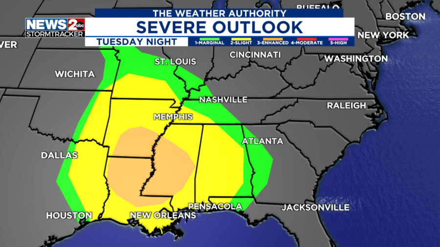
A line of thunderstorms will arrive on Tuesday evening. The Storm Prediction Center has issued a severe weather risk area that includes much of Middle Tennessee and Southern Kentucky.


Most of the area is under a Level 1 marginal risk, with western counties under a Level 2 out of 5 slight risk. Whether you are located in the green or yellow area, you need to be weather alert on Tuesday evening.
The main threat within the strongest thunderstorms will be damaging wind gusts over 60 mph. The threat of tornadoes is lower but still needs to be taken seriously.

The line of thunderstorms will begin moving into Middle Tennessee as early as 4 p.m. on Tuesday. They will move west to east and should be out of here by the early hours of Wednesday morning. Click through the slide show below for the hour-by-hour timing.


After the storms move out, we will still have wind gusts of more than 30 mph. The winds will be out of the west, and will cause temperatures to be cooler on Wednesday.
Check back in with the WKRN Weather Authority team this weekend for further updates and more specifics for this severe weather event.
Don’t forget to take the power and reliability of the WKRN Weather Authority with you at all times by downloading the News 2 Storm Tracker app.